 Merch
Maps
Explore Leonida — confirmed districts, rumoured landmarks and every pin the community has flagged.
The GTA 6 map: Leonida & Vice City
GTA 6 is set in the state of Leonida — Rockstar’s take on modern Florida — with Vice City at its heart, the series’ first mainline return to Vice City since 2002. The official trailers show a mix of dense urban districts, beaches and boardwalks, island keys, wetlands and airboat country, plus highways and rural backroads.
Rockstar has not released an official map, a full district list, or a confirmed map size — so any “leaked full map” or exact-square-mileage claim is unconfirmed. We rate those on our rumours, rated page, and cover the basics on the Everything We Know hub. The districts below are our own fan concept of Leonida.
GTA 6 Map: Confirmed Locations
The places Rockstar has actually shown in official GTA 6 footage, split between Vice City itself and the wider state of Leonida. These names and areas are confirmed; the full interactive map with every pin is on the way.
- Ocean Drive & South Beach — Neon Art-Deco strip — hotels, nightlife and sand.
- Downtown Vice City — The dense high-rise core and its skyline.
- Brickell — The financial district — glass towers and condos.
- Venetian Islands — Man-made luxury islands off the causeway.
- Port of Vice City — Container cranes, warehouses and cargo ships.
- Waning Sands — Coastal resort sprawl at the city’s edge.
- Leonida Keys — A tropical island chain south of the mainland, linked by bridges.
- Keys Route 1 — The single highway threading the whole island chain.
- Grassrivers — Everglades-style swampland — airboats and backroads.
- Ambrosia — An inland Leonida town, out on the campaign trail.
The Corners of Leonida
Alongside the confirmed areas above, here are the corners of Leonida our concept art leans into most.
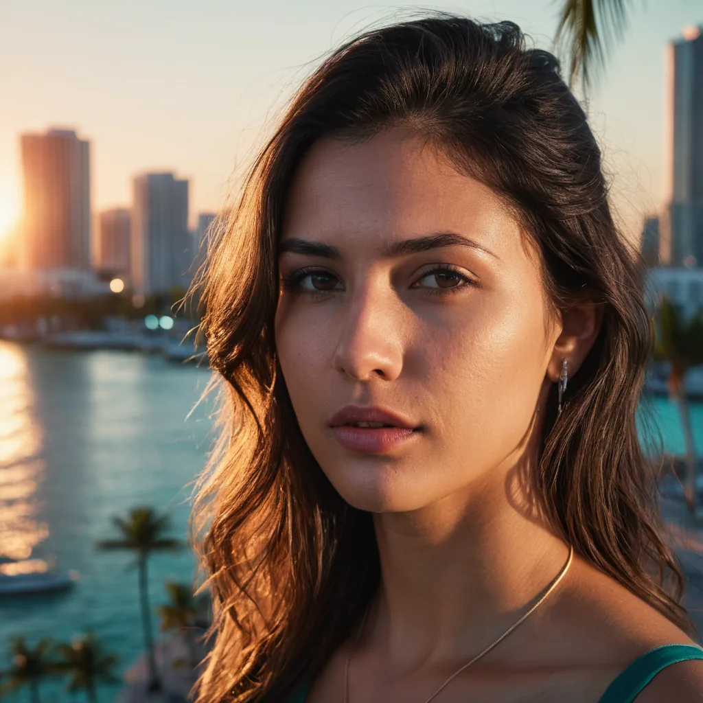
Downtown
Skyscrapers & neon nightlife.

The Keys
Island runs & smugglers.

The Wetlands
Swamp, airboats, backroads.
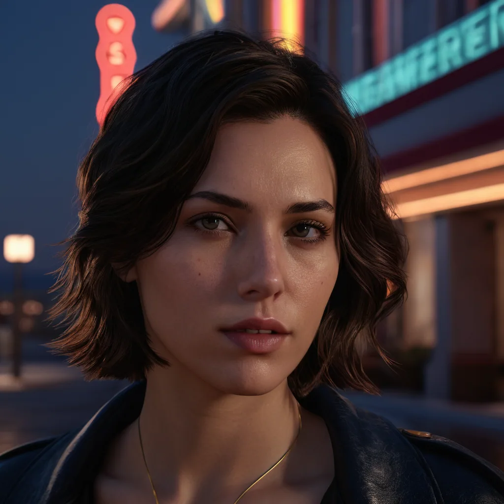
The Strip
Beaches, clubs & boardwalk.